The pattern is remarkably predictable and consistent and just insanely warm. The Christmas Forecast I made last week still holds other than an upwards adjustment in temperatures. Temperatures will be in the 70s and may even approach 80 in spots with more clearing.
Date
|
Forecast Max/Min
|
Normal Max/Min
|
Records Challenged
|
Max/Min Departure
|
12/24/2015
|
75/56
|
45/31
|
High
Max 69(1933)
|
+30/+24
|
12/25/2015
|
67/51
|
44/31
|
High
Min 49(1987)
|
+23/+20
|
12/26/2015
|
59/51
|
44/31
|
High Min 52 (1982)
|
+15/+20
|
 |
| High sky cover on the 24th may keep temperature down if it is thicker than expected. |
We will probably break the record high on Christmas Eve (Thursday) before the cold front passes through in the evening. Temperatures will drop behind the front but will remain 15-20 degrees above normal. We also have chances to set record high minimum temperatures on the 24th (58), 25th (49) and 26th (52). With the warmth comes moisture and instability. There is a chance for gusty showers and perhaps even a thunderstorm during the day on the 24th ahead of the front. Any severe weather here would be extremely unlikely and unprecedented.
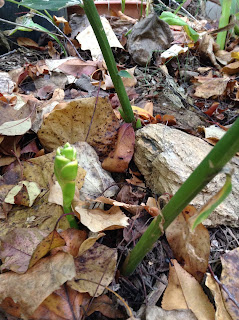
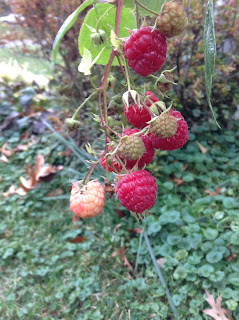
For now temperatures will likely stay warm for the rest of the year to place December 2015 as the warmest on record. After the New Year, there is hope that the miserably warm weather will go away. I'd like the plants to stay asleep in the ground right now anyway. I wish you a Merry Torchmas.


