Weather is inherently chaotic. so many things working together to create a big feature. Therefore, it is hard to model. However, we have come a long way in modeling and today is one of those days when you need it. We have an Upper Level Low (ULL) over us that has cut off from the jet stream. As a result, it is meandering west over us. The great thing about ULLs is that it is accompanied by a cold pool in the upper levels so when there is precip, it basically manufactures its own cold air. Make the precip heavy enough and it can overcome marginal situations like today. Our ULL has developed a surface low in an ideal location for us to get precip. This means that the ULL is well stacked, aiding the strength of the low
Round 1 has passed bringing us a trace to 1-2 inches of snow in Moco. Round 2 may or may not come. But the models all lean towards it coming and pummeling us with heavy precip, most likely at least part frozen.
The Euro shafts us with round 2...
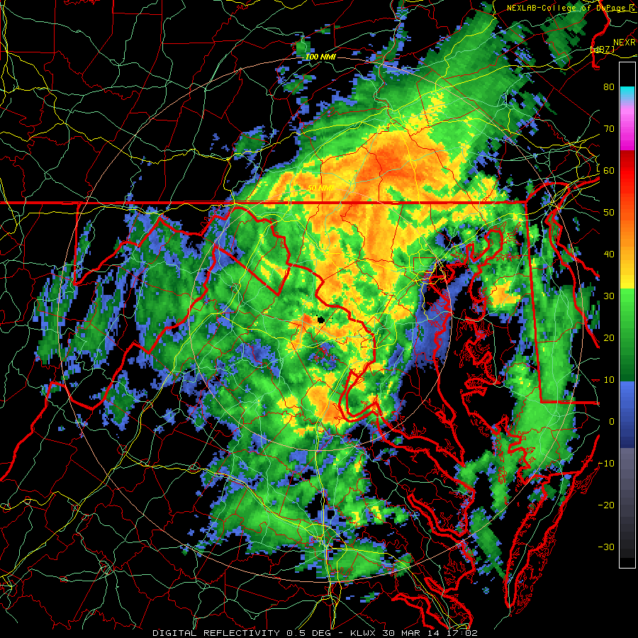
This should be fun.... There have already been reports of 3-4 inch per hour rates with that northern blob all snow. If it hits... Great. If it doesn't hit someone else gets the jackpot. But seeing how we have gone all winter, I can't see how it doesn't hit us square in the face. This winter doesn't want to end. The snow started up again. going to go watch it fall.
Happy Spring ;)
-Alex

