Tuesday, December 31, 2013

Snow to usher in 2014?


So... the new year is here... Has mother nature made any new years resolutions? Maybe adding some real snow to this drab winter? No... The first opportunity of snow for 2014 is not looking so promising for the DC Metro area. 1-3 inches is a possibility. 3-6 is also, albeit less likely. Don't even hope for anything higher. A bust is definitely possible though. Model watching won't help either. The models don't know what they are doing since cyclogenesis is very complex. So the situation...

There are 2 pieces of energy needed to make this storm happen, 1 from the north and 1 from the south. The north piece, riding the polar jet stream will weaken and transfer its energy to the southern low when it makes its way up the eastern seaboard via the subtropical jet. Where these 2 pieces of energy meet is where phasing and snowstorm formation occurs.


When the northern low weakens, there is a lull between then and when the coastal low really gets cranking. Being stuck in between these 2 systems is the worst place if you are a snow lover. In addition, if the storm phases too late, as the models show, we get almost nothing. It if phases earlier, we may get a decent moderate snow. It is likely that phasing will occur earlier than the models show. Models keep flip flopping around so I won't show them. Following this storm will be a short period of cold with lows in the single digits and teens. This will be followed by another storm which , as with this storm, the models have no grasp on whatsoever what they are going to do. After that, possible record cold...


Sometimes, I think this is how DC is in relation to everyone else...

View Larger Map

CMC model for this storm... See? The DC snow hole is true... Watching the snow evaporate crossing the mountains only to reappear at the coast is agonizing :P

HAPPY NEW YEAR!!!
-Alex

Tuesday, December 17, 2013

ESS Test Notes...


Content of the atmosphere-air
  • Gases over 1 ppm in order excluding water vapor (dry air)

Nitrogen
Oxygen
Argon
Carbon Dioxide
Neon
Helium
Methane
Krypton


  • General trends of why these are the gases in the atmosphere
These gases are relatively stable (many are noble gases), and come from the ground in the form of outgassing, volcanic eruptions, ect. Oxygen is an exception,  it does not come from the ground but instead is produced through photosynthesis by plants. Nitrogen is stable because it has a triple bond...
Divisions of the atmosphere by temperature
Troposphere-Where most weather occurs, temperatures decrease throughout this layer. It is warmest near the ground because the ground absorbs what radiation that makes it to the surface and conducts it to the air near it. It is about 12 km thick.
Stratosphere-Ozone layer is here. Temperature rises as altitude increases because Ozone layer absorbs UV radiation and gives off heat.
Mesosphere-Temperature drops, lowest temperatures typically found here.
Thermosphere- Temperature rises because the incoming solar radiation is not filtered out and any particles it encounters will be highly energized.
Earth's atmosphere Layers of the atmosphere drawn to scale, objects within the layers are not to scale.
  • Why does the temperature change at each level?
The temperature changes at each level because
Ozone
  • The basic chemistry behind how ozone is generated
O
2
 +  λ (photon energy) → 2 O
O + O
2
  → O
3
 
O
3
 + O → 2 O
2


  • What is needed and why does it happen in the stratosphere as opposed to higher up or lower in the atmosphere?
Higher up, there is not enough particles to make Ozone, and lower down, there is not enough solar radiation to break up the particles to make Ozone.


  • Is the Tropopause always at the same altitude everywhere on earth?  Why not?
The Tropopause is not at the same altitude everywhere on earth because the temperature of the surface varies. The colder the surface of the earth, the lower the Tropopause.


  • Why does the ozone hole exist?  Why is it located where it is?
The ozone hole is located over the Southern Ocean in the southern hemisphere. It is located here because the most chloride from the ocean make it up into the ozone layer here, destroying it. The ozone destruction is normally pretty balanced but with the introduction of human made CFCs into the atmosphere, the balance has been tipped in the way of destruction, resulting in the ozone hole.
O +Cl →ClO-
ClO-+O3  → 2O2+Cl
ClO-+O  → O2+Cl
Humidity
  • What is it?
Humidity is the amount of water vapor in the air.
How is it expressed?
  • Mixing ratio- expressed as grams of H2O/Kg dry air


  • Relative Humidity- expressed as Amt H2O actually in the air/max amt H2O possible. The number is expressed as a percentage. The amount of water actually in the air varies by temperature. The higher the temperatures the more water the air can hold so 100% humidity at 0 C will be less than 100% humidity at 30 C.
  • What factors affect relative humidity?
Temperature and the amount of water vapor available in the atmosphere affects humidity.
  • Dew Point 
The Dew Point is the temperature at which the air is saturated with water vapor and cannot absorb ant more. It varied depending on where you are. the dryer the air, the lower the dew point.
Trends as air rises through the atmosphere
  • Be familiar with dE = q - PdV (d is delta)


  • Why does the temperature go down?
As the air rises, the force of gravity decreases because there is less air pushing down on it so the parcel expands. As volume increases,  PdV increases, but since it is subtracted from the q, total energy change is negative, which indicates a drop in temperature


  • What is the adiabatic assumption?
the assumption is that the air parcel is a closed system and no heat goes in or out of it.


  • Why does the rate decrease at the cloud level?
Condensation of water vapor releases heat into the air parcel (system). q is no longer 0, it is positive.
Processes that lift air (forcing mechanisms) 
  • Frontal Wedging-Cold air mass displaces warm air mass upwards. The advancing edge of the cold air mass is like a wedge.
  • Orographic Lifting-Air is  forced over a land feature, such as mountains, cools, condenses and forms clouds. Wetter on the upslope side and dryer on the downslope side-rain shadow effect
  • Convergence-2 air masses travel towards each other (converge) and so where does the air go in the middle? the only place it can, up.
  • Localized Convective Heating-sun heats surface, air parcel above heats up, destabilizes, becomes less dense, and rises.

ELR vs DAR vs WAR

ELR is Environmental Lapse Rate This is the measured rate that the temperature of the atmospheric environment changes and varies from place to place between 5C/km and 10C/km.

DAR is Dry adiabatic Rate, the rate that rising unsaturated air cools, which is around 10C/km.

WAR is an organized and often prolonged conflict that is carried out by states or non-state actors. It is generally characterized by extreme violence, social disruption, and economic destruction....
Actually, it is the Wet adiabatic Rate, which is the rate rising saturated air cools. the rate is around 6C/km. the WAR is lower than the DAR because water condensing releases heat. So if the air parcel is saturated, it can no longer hold more moisture. But as it rises, the temp drops, allowing more water to condense, releasing more heat.

Unstable vs Stable air
Stable Air has a tendency to sink. The temperature of the air parcel is lower than the surroundings.

Unstable Air has a tendency to rise. The temperature of the air parcel is higher than the surroundings. rising unstable air forms convective clouds that form thunderstorms.

What do clouds need to form?
Water an condensation nuclei (particles for water to begin condensing onto; can be almost anything small enough)

Types of clouds (there are 11) by form and height
Precipitation formation, be familiar with both methods
Collision coalescence
Water vapor in the cloud collide with a nuclei, forming a water drop. This drop in turn collides with more water droplets, growing bigger and bigger until it falls out of the sky due to gravity as rain.

Bergeron Process-when cloud temps are below freezing
If you have any questions, please do not hesitate to ask using the comments. 
Hope this helps, 
-Alex


Monday, December 16, 2013

A dusting?

A clear night is expected early, follow by cloudiness and possibly up to a dusting of snow, as a clipper passes by. A clipper, AKA Alberta Clipper, is a low pressure system that originates out of Canada. they are usually moisture starved and carry very little snow by the time it gets here. Occasionally, the clipper transfers its energy offshore and bombs out, creating a snowstorm. One example is the second snowstorm of February 2010. As stated previously, these storms do not happen very often. 2 clippers are expected to pass in the next 2 days. One tomorrow morning and one tomorrow afternoon. The second one will be a little bit stronger but temps should be warm enough to limit any accumulations. After the clippers, a warming trend is expected with temps into the mid to upper 50's by the end of the week.

Thursday, December 12, 2013

More winter slop

High pressure dominates the region, beginning clear and cold days. Temps tonight will be in the low 20s and highs in the 30s tomorrow. As the work week draws to a close, this high will begin to lift out, being replaced a low pressure system forming to the west. This system will be a complex one, with many low centers and phasing events. This system may start off as some snow and sleet on Saturday before quickly transitioning to  into Sunday night . The storm is forecast to bomb out off of the coast of New England, bringing heavy snow there. But alas, we will be stuck with some sloppy slush. Clearing is expected behind the storm as high pressure builds back in, with more moderate temperatures with highs in the 40s and lows near 30 leading up to winter break.
Complex Low Pressure System approaches area on Saturday
the system forecast to affect the area on Saturday and saturday night is not expected to be a big snowmaker because the set of perfect atmospheric conditions required for heavy snow here will not be in place for this storm. For heavy snow in the Mid Atlantic, the polar and subtropical jet streams merge, allowing arctic air to spill south. This also concentrates energy southwards, creating a storm along the gulf coast that ultimately strengthens and rides the jet north to produce snow.
Jet Stream configuration for a snowy nor-easter for the Mid Atlantic.
 However, this time, the polar jet will be in the north and a piece of the polar energy will drop down to and travel with the mid level energy to the south ,creating a complex storm over the plains. the storm will be far enough north to drive out cold air in our region and replace it with warm air. The 2 pieces of energy will merge along the atlantic seaboard and depending on where it does, can result in different amounts of snow. Unfortunately, this time, it will merge too far north to give us any decent snow.
Interpreted jet stream positions on water vapor (WV) imagery
ML stands for Mid-level (~500mb)  energy


Thanks for reading, 
-Alex


Tuesday, December 10, 2013

Snowmen :)


12/10/13 Ice Storm Photos

 Freezing rain on Sunday night left everything covered in a quarter inch thick layer of ice


Outdoor tropicals after the storm

The tropicals that were planted in ground fared well during their first major winter storm.

Snowed in...
2:00PM Sunday
2:00PM Sunday

2:00PM Sunday


6:00 PM Sunday
6:00PM Sunday


Then iced in...

6:00AM Monday
6:00AM Monday

8:00AM Monday
8:00AM Monday


Then snowed in again...

10:00AM Tuesday
12:00PM Tuesday
                             
                                    10:00AM Tuesday

Monday, December 9, 2013

Winter is not done yet... More snow?

UPDATE 10:12 PM 12/9/13
Hi-res NAM radar simulation for 7:00 AM                 Total liquid-equivalent precip                             shows heavy snow

UPDATE 9:05 PM 12/9/13
The NWS has upgraded a narrow band spanning across DC into a Winter Storm Warning for 3-6 inches of snow.
...WINTER STORM WARNING IN EFFECT FROM 3 AM TO 2 PM EST TUESDAY...

THE NATIONAL WEATHER SERVICE IN BALTIMORE MD/WASHINGTON HAS
ISSUED A WINTER STORM WARNING FOR SNOW...WHICH IS IN EFFECT FROM
3 AM TO 2 PM EST TUESDAY. THE WINTER WEATHER ADVISORY IS NO LONGER
IN EFFECT.

* PRECIPITATION TYPE...SNOW...HEAVY AT TIMES. PRECIPITATION MAY
  START AS A PERIOD OF SNOW AND SLEET BEFORE DAWN CHANGING TO ALL
  SNOW AFTER DAYBREAK.

* ACCUMULATIONS...3 TO 6 INCHES.

* TIMING...AROUND DAYBREAK TUESDAY LASTING THROUGH EARLY TUESDAY
  AFTERNOON...INCLUDING THE TUESDAY MORNING RUSH HOUR.

* TEMPERATURES...UPPER 20S TO LOWER 30S.

* WINDS...NORTHWEST 5 TO 10 MPH.

* IMPACTS...HAZARDOUS TRAVEL CONDITIONS ARE EXPECTED FROM HEAVY
  SNOW. THE SNOW WILL IMPACT THE MORNING RUSH TUESDAY WITH THE
  POTENTIAL FOR ACCUMULATION RATES OF 1-2 INCHES PER HOUR.


Original Text
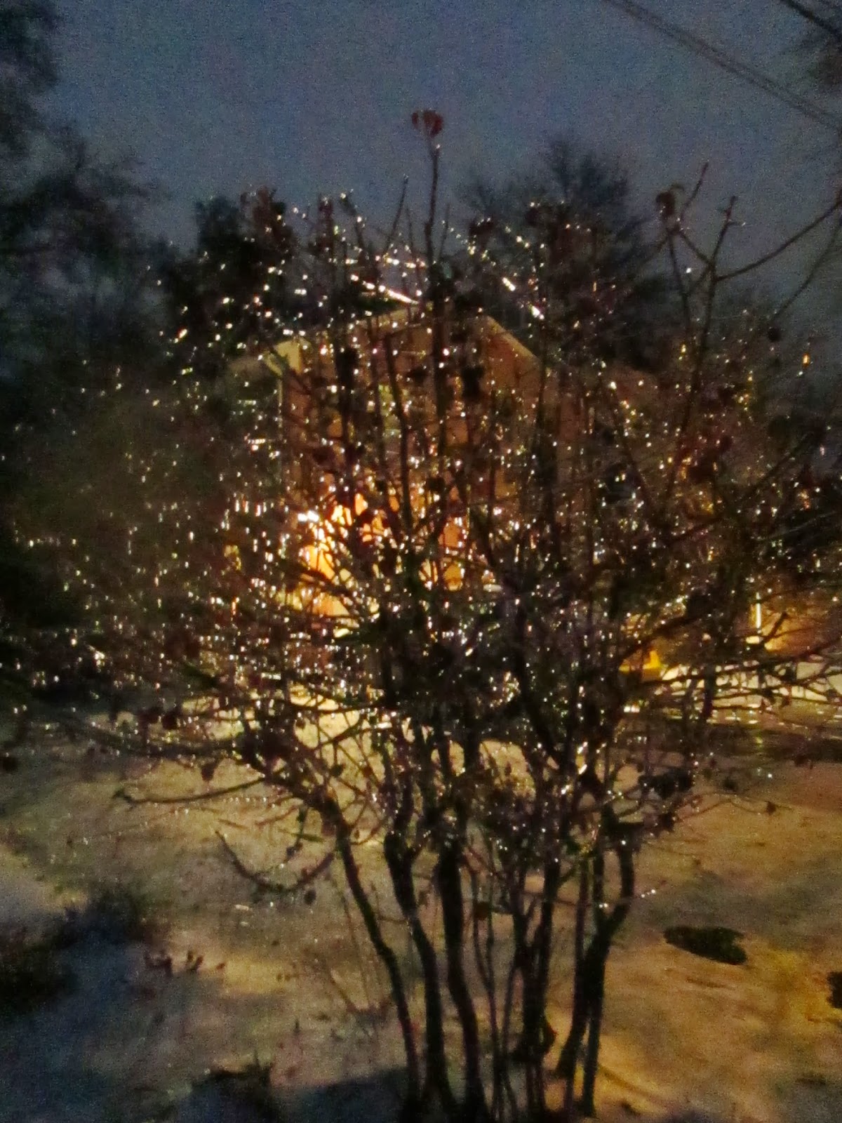
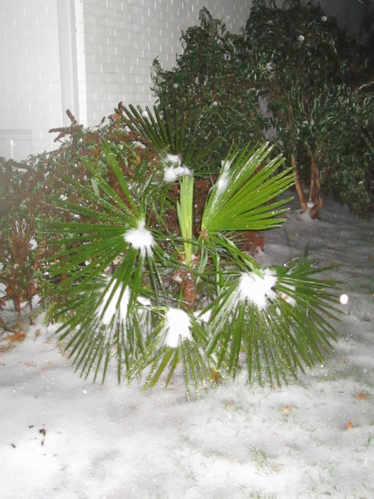
Once again, more winter weather is projected to impact the DC metro and once again, there is a lull just before it. Tonight, temps will drop back below freezing so refreezing may occur.  In addition, a Dense Fog Advisory is in effect until 3AM. If you plan to be out and about, use caution.
...DENSE FOG ADVISORY NOW IN EFFECT UNTIL 3 AM EST TUESDAY...

* VISIBILITIES...ONE-QUARTER MILE OR LESS.

* IMPACTS...AREAS OF DENSE FOG WILL CAUSE SUDDEN REDUCTIONS IN
  VISIBILITY AND RAPIDLY CHANGING CONDITIONS. BLACK ICE WILL ALSO
  FORM WHEN TEMPERATURES DROP TO BELOW FREEZING THIS EVENING...
  ESPECIALLY ON UNTREATED ROADS...BRIDGES AND OVERPASSES.

The NWS has a issued a Winter Weather Advisory for the entire DC area starting 3 AM and lasting till 2PM for a quick hitting 3-5 inches of snow. The snow may start off with some sleet mixed in.


...WINTER WEATHER ADVISORY IN EFFECT FROM 3 AM TO 2 PM EST
TUESDAY...

THE NATIONAL WEATHER SERVICE IN BALTIMORE MD/WASHINGTON HAS
ISSUED A WINTER WEATHER ADVISORY FOR SNOW... WHICH IS IN EFFECT
FROM 3 AM TO 2 PM EST TUESDAY. THE WINTER STORM WATCH IS NO
LONGER IN EFFECT.

* PRECIPITATION TYPE...SNOW...HEAVY AT TIMES. THE PRECIPITATION
  MAY START AS A PERIOD OF SLEET...ESPECIALLY SOUTH OF INTERSTATE
  66 IN VIRGINIA AND EAST OF INTERSTATE 95.

* ACCUMULATIONS...3 TO 5 INCHES.

* TIMING...NEAR DAWN TUESDAY THROUGH EARLY TUESDAY AFTERNOON...
  INCLUDING THE TUESDAY MORNING RUSH HOUR.

* TEMPERATURES...UPPER 20S TO LOWER 30S.

* WINDS...NORTHWEST 5 TO 10 MPH.

* IMPACTS...HAZARDOUS TRAVEL CONDITIONS ARE EXPECTED FROM HEAVY
  SNOW. THE SNOW WILL IMPACT THE MORNING RUSH TUESDAY WITH THE
  POTENTIAL FOR ACCUMULATION RATES OF 1-2 INCHES PER HOUR.

PRECAUTIONARY/PREPAREDNESS ACTIONS...

A WINTER WEATHER ADVISORY MEANS THAT PERIODS OF SNOW WILL CAUSE
TRAVEL DIFFICULTIES. BE PREPARED FOR SLIPPERY ROADS AND LIMITED
VISIBILITIES...AND USE CAUTION WHILE DRIVING.


Precip will enter the area in the early morning hours and overspread the area by 6. The storm will be quick moving, but badly timed, with the heaviest snow coming in as students prepare to go to school. Temps will drop as the precip moves in. Bands of heavy snow may develop just in time for rush hour. There is a possibility of preemptive school closures due to the possible heavy snow. Temperatures in the upper levels will be very cold, possibly contributing to higher liquid to snow ratios which means higher accumulations and fluffier and drier snow.


Beyond tomorrow, skies will clear but temps will plummet. Forecast highs will struggle to reach freezing and lows will be in the teens to single digits until Friday. The coldest day will be Wednesday,  with forecast highs in the 20s and  lows on Weds night in the single digits. Bundle up everybody!


How to measure Snow: http://www.srh.noaa.gov/productview.php?pil=PNSSEW&max=61
                                                        Thanks for reading,
                                                                 -Alex