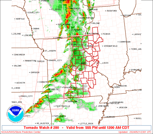
The SPC has issued a tornado watch until 9PM for the Washington DC metro area and areas to the NW. Currently, a backdoor cold front ( west progressing cold front) is near the vicinity of Baltimore. To its South and West, southerly flow at the surface has brought warm, moist air up, creating an unstable environment to fuel the storms. Soundings have indicated around 2000-2500 J/kg of CAPE and around 30 knots of shear. The CAPE is enough to support severe thunderstorms. Shear may be a little weak but is forecast to strengthen. Shear is strongest near the front. As the storm nears the boundary, the wind shift associated with it creates shear, this promotes turning of the the storm and increases the chances of tornadoes. However, this is delicate balance. As soon as the storm crosses the front, its source of energy is gone and the storm chokes itself to death. Where is the front is is very hard to forecast, hence the short notice. This is also a reason past scenarios have failed to produce tornadoes. Another reason include lack of surface heating and destabilization due to persistent cloud cover. Updates will come as needed and if I can find time (unlikely) away from schoolwork(very likely).
OFFICIAL SPC WATCH AND PROBABILITIES
THE NWS STORM PREDICTION CENTER HAS ISSUED A

   * TORNADO WATCH FOR PORTIONS OF
     DISTRICT OF COLUMBIA
     WESTERN AND CENTRAL MARYLAND
     SOUTHWEST AND SOUTH-CENTRAL PENNSYLVANIA
     NORTHERN VIRGINIA
     NORTHERN AND EASTERN WEST VIRGINIA
     COASTAL WATERS

   * EFFECTIVE THIS WEDNESDAY AFTERNOON AND EVENING FROM 300 PM
     UNTIL 900 PM EDT.

   * PRIMARY THREATS INCLUDE...
     A COUPLE TORNADOES POSSIBLE
     ISOLATED DAMAGING WIND GUSTS TO 70 MPH POSSIBLE
     ISOLATED LARGE HAIL EVENTS TO 1.5 INCHES IN DIAMETER POSSIBLE

   THE TORNADO WATCH AREA IS APPROXIMATELY ALONG AND 55 STATUTE
   MILES NORTH AND SOUTH OF A LINE FROM 20 MILES SOUTHWEST OF
   PITTSBURGH PENNSYLVANIA TO 50 MILES SOUTHEAST OF HAGERSTOWN
   MARYLAND.  FOR A COMPLETE DEPICTION OF THE WATCH SEE THE
   ASSOCIATED WATCH OUTLINE UPDATE (WOUS64 KWNS WOU0).

   PRECAUTIONARY/PREPAREDNESS ACTIONS...

   REMEMBER...A TORNADO WATCH MEANS CONDITIONS ARE FAVORABLE FOR
   TORNADOES AND SEVERE THUNDERSTORMS IN AND CLOSE TO THE WATCH
   AREA. PERSONS IN THESE AREAS SHOULD BE ON THE LOOKOUT FOR
   THREATENING WEATHER CONDITIONS AND LISTEN FOR LATER STATEMENTS
   AND POSSIBLE WARNINGS.
Tornadoes
| Probability of 2 or more tornadoes |
Mod (40%)
|
| Probability of 1 or more strong (F2-F5) tornadoes |
Low (20%)
|
|
Wind
| Probability of 10 or more severe wind events |
Mod (30%)
|
| Probability of 1 or more wind events > 65 knots |
Low (10%)
|
|
Hail
| Probability of 10 or more severe hail events |
Mod (30%)
|
| Probability of 1 or more hailstones > 2 inches |
Low (10%)
|
Combined Severe Hail/Wind
| Probability of 6 or more combined severe hail/wind events |
High (70%)
|
|
|